Scenary of Yudalsan Mountain
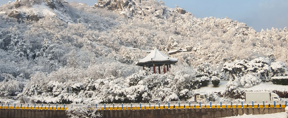
Made up of strange rocks and stones at an altitude of 228 m, Yudalsan mountain is the last peak of Noryeong Mountain Range. You can view the entire town of Mokpo from the top of the mountain, and blue water of the Dadohae stretches out for miles. Small and large ships passing by reminds one of a beautiful Oriental painting.
Sunset from Mokpodaegyo Bridge
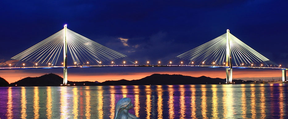
Mokpodaegyo Bridge, which was built in 2012, has a four-lane road with a total distance of 4,129km and a width of 35-40m. This bridge connecting Mokpo Bukhang Port and Gohado Island creates an astonishing view through the beautiful shape of a crane and the sunset.
Gatbawi Rock
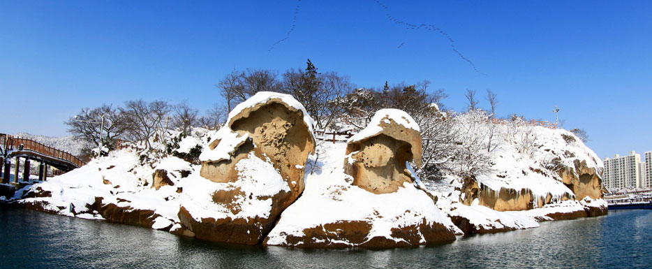
Gatbawi Rock, which is designated as national monument No. 500, resembles two people wearing satgats (Korean traditional hat). It is welded tuff formed by volcanic ash from approximately 80 million years ago.The only way previously to enjoy the view of Gatbawi Rock was to ride on a ship but a pedestrian bridge has been built over the sea, which allows you to observe Gatbawi Rock directly over the water.
Mokpo Dancing Ocean Fountain
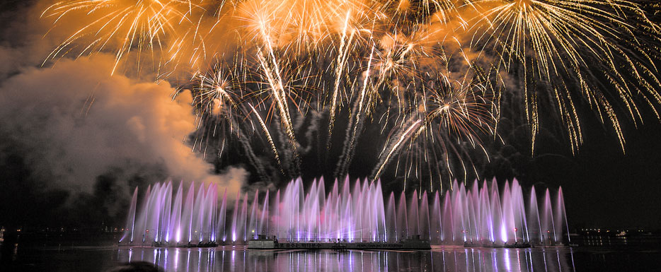
This is the world’s first and largest floating ocean fountain, and it was selected by the ‘Korea Tourism Guinness’ for commemorating the 50th year of the Korea Tourism Organization. It spouts giant streams of water with a maximum height of 70m through 276 jet nozzles and 96 jet pumps. Over a quiet sea at Pyeonghwa Square, performances are presented with the beautiful images on the water screen, mellow music and splendid lights. Visitors experience unforgettable memories through various events such as introducing proposal stories, etc.
Nojeokbong Peak
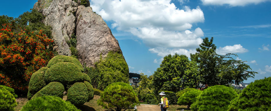
While the army was rearranging the battle line after leading the victory over Myeongnyang battle only with 12 ships, the military and provisions of Joseon were running short and they were at the verge of falling if the Japanese army was to invade.When the Japanese invaders were observing the Joseon army off the coastal waters of Yudalsan Mountain, admiral Yi Sun-sin used a camouflaged tactic utilizing Nojeokbong Peak.
He covered Nojeokbong rocks with straws to make them look like provisions, and dissolved white clay in the sea water at dawn to make it look like rice water. It made the Japanese army to think that there were many Korean soldiers and withdrew.Since then, this peak has been called Nojeokbong.
Mokpojin Fort
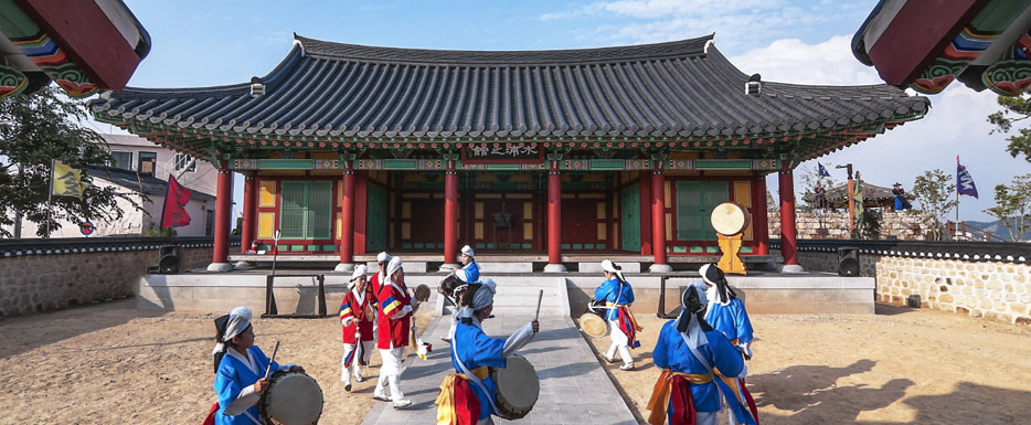
Mokpojin Fort was a naval forces camp during the Joseon Dynasy and it is also called Manhojin Fort beause Manho, the head of the fort, was dispatched.Mokpo hugs the mouth of the Yeongsangang River and is located at a strategic point that connects to the sea. Its importance was highly noticeable since the early years of the Joseon Dynasty as an important road between Honam and Gyeongsang-do for transporting crops. The military base, which vanished during Japanese colonization, was restored as a historical park after 120 years and is used as a historical and cultural tourist attraction.
Samhakdo Lee Nanyeong Park
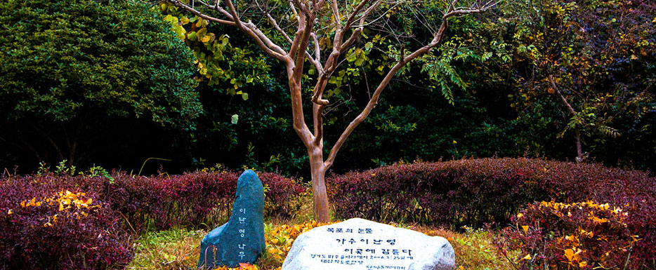
Samhakdo, which is known as a place where three women who loved one man died and became cranes and fell to death, has a small bridge connecting three islands that allows visitors to enjoy a trail along the bridge while taking in the beautiful nightscape. At Lee Nanyeong Park that commemorates Lee Nanyeong who was the famous singer of “Tears of Mokpo,” you can find the natural burial site of Lee Nanyeong as well as pleasant green space and amenities for citizens.
Panoramic view of the Dadohae
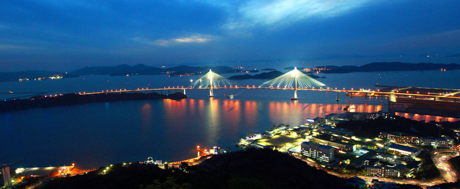
A panoramic view of the Dadohae around Mokpo including Gohado Island in front of Yudalsan Mountain, where you can see downtown Mokpo at a glance, and Oedaldo Island draws your admiration with its simple yet picturesque beauty.
Oedaldo Island, an island of love
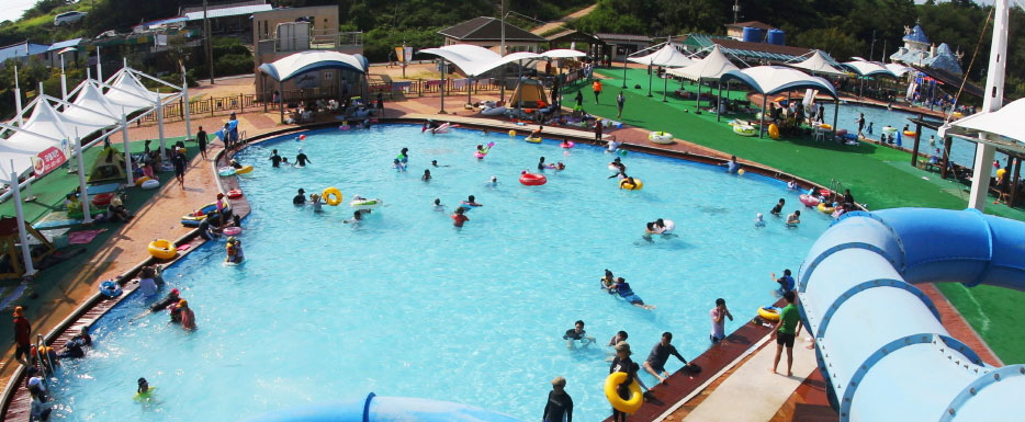
Oedaldo Island, which rises over the sea, is known as an island of love and boasts a clean and beautiful natural environment. It was designated as an “Outstanding Ecological Village” by the Ministry of Environment and one of the “100 Beautiful Islands of Korea” by the Ministry of Land, Transport and Maritime Affairs.

